Discovering the world / Odkrywając świat, Interesting facts / Ciekawostki, Traveler's guide / Podróznicze porady
January 14, 2023
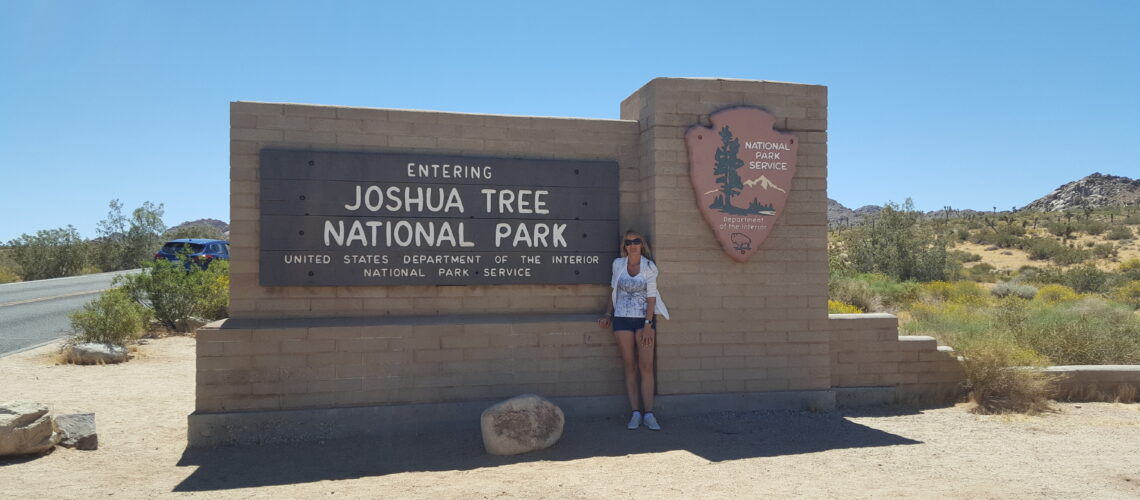
Joshua Tree National Park
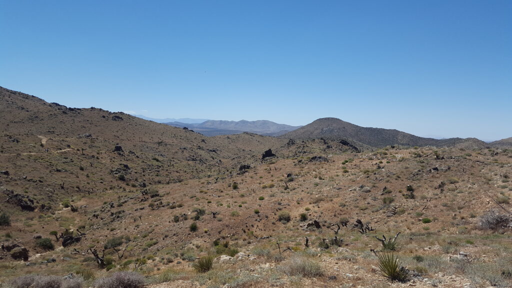
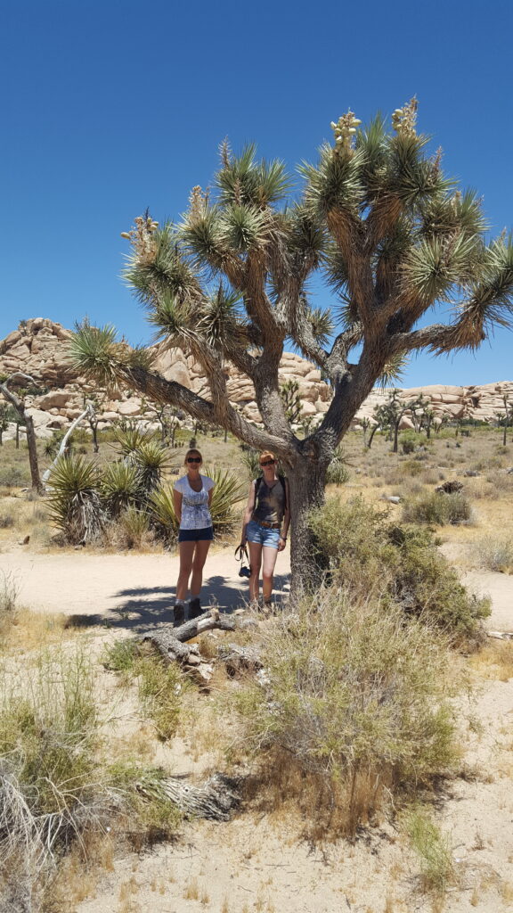
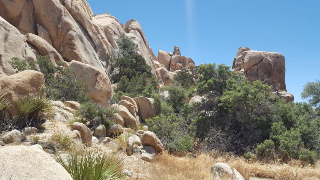
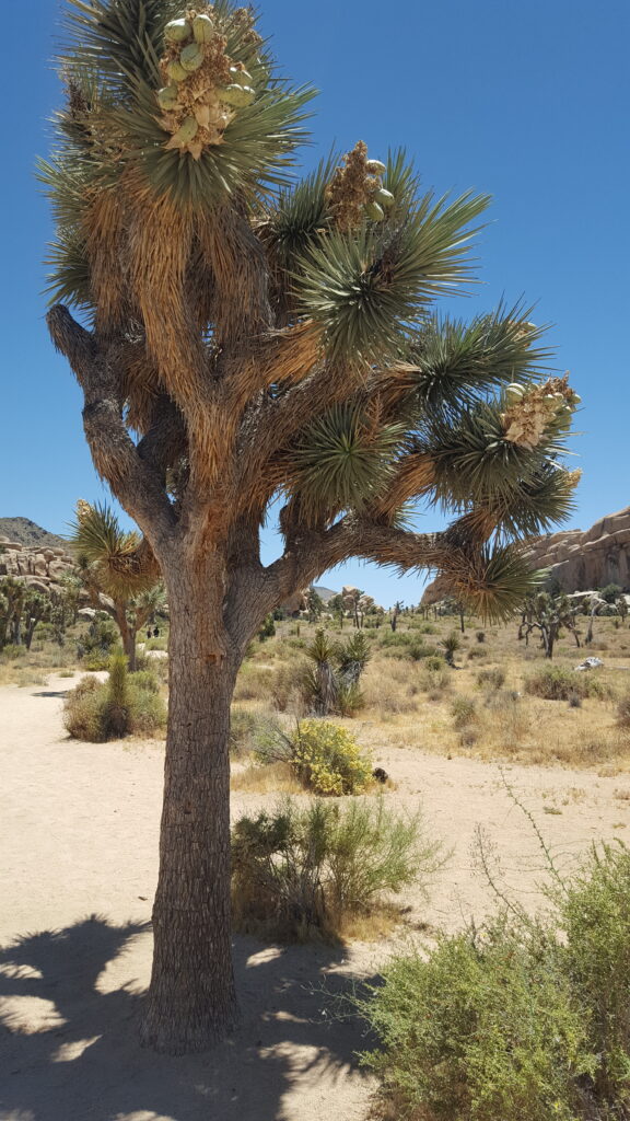
Among the many incredible US national parks, the desert landscape of Joshua Tree National Park has its own unique, almost surreal charm, with its cactus-like trees and their twisted and bizarre shapes (Yucca) and the rock piles on the ground that resemble tombstones.
At dawn, the landscape is haunting when is flooded with a flickering red light, and at night you can gaze at a beautiful star-covered sky that you will probably remember for the rest of your life. In Joshua Tree National Park you’ll feel as if you’re at the end of the world or even on another planet. We’ll show you some tips on how to visit and enjoy one of the most fascinating parks in California.
The park is located at the point where two deserts – the Colorado Desert and the Mojave Desert meet. The name was coined by a group of Mormons in 1850 who thought twisted branches of the Yuccas looked like Joshua’s arms pointing to the promised land. The entire area is about 1235 square miles and is recommended particularly for those who love hiking, observing flora and wildlife and rock climbing.
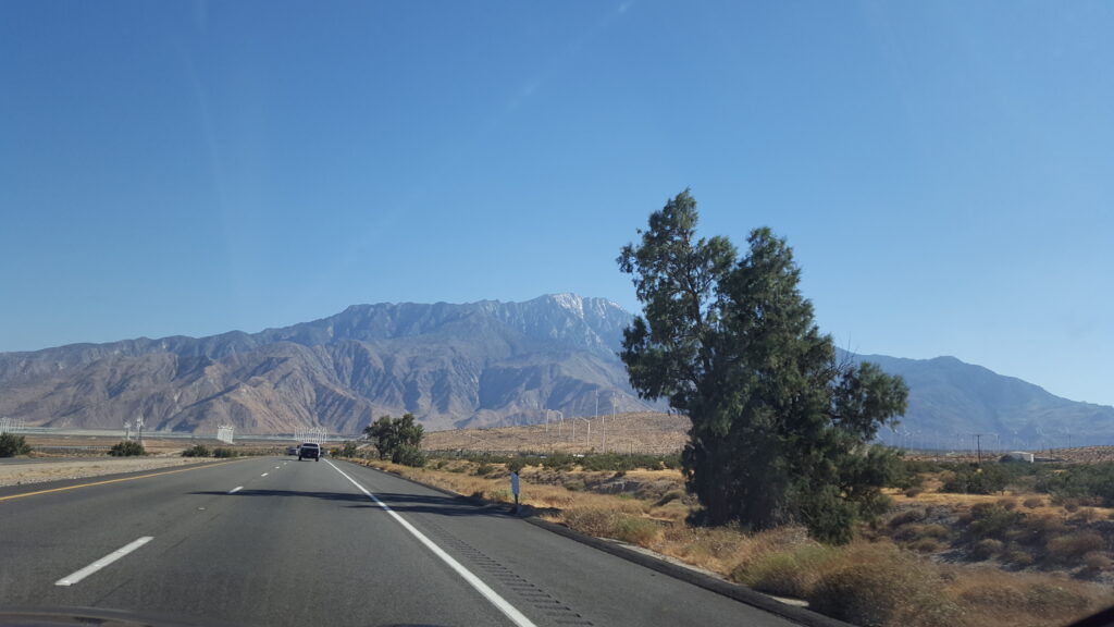
Driving through the scenic drive in Joshua Tree
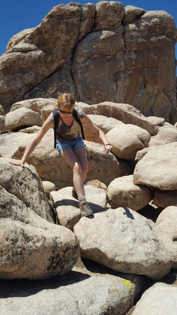
It’s a beautiful experience, to drive through the enchanting Joshua trees and the rocky piles that characterize the park. However, to really enjoy some of its wonders, you’ll still have to go on a few short hikes. They’re not that challenging. In most cases, they are short walks starting from the parking lot (in the description below you’ll also find details of distances). In 3-4 hours you can walk along the main streets of the park and get an idea of the area. Of course, there are also more challenging hikes in Joshua Tree, that allow you to enjoy some beautiful places not accessible by car. In this article, though, we will only cover the attractions that are easier to reach.
Important Instructions
Do you have enough water?
Remember, you’re in the desert in California, so if you visit the park in the summer, take a substantial supply of water with you (the official guide recommends drinking a gallon of water a day during the summer heat). These are the few places where you can buy water:
Oasis Visitor Center in Twentynine Palms
- West Entrance Station
- Black Rock Campground
- Cottonwood Campground
- Indian Cove Ranger Station
Are there any dangerous animals?
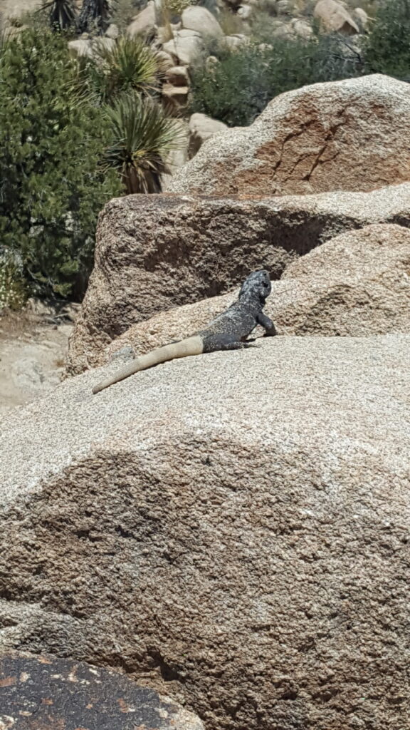
Yes, there are.I don’t want to frighten you, but before you enter Joshua Tree, you must be aware of its dangers. There are some poisonous animals that live in Joshua Tree, including rattlesnakes, scorpions and black widow spiders. When hiking, always watch your step and also pay close attention to bees, which can attack and sting you if they perceive a threat to their hive.
When planning, I recommend that you take a look at the safety tips on Joshua Tree’s official website.
What to do in Joshua Tree National Park
Here is a list of things to see along the way.
Keys View
It is one of the most popular destinations in the park, a belvedere perched on the crest of the San Bernardino Hills, with a panoramic view of the entire Coachella Valley. From here you can see the brilliant surface of the Salton Sea, the Santa Rosa Mountains and the summit of the San Gorgonio Mountain, which is usually covered by snow. Getting to the top is easy, it’s just a short walk from the parking lot.
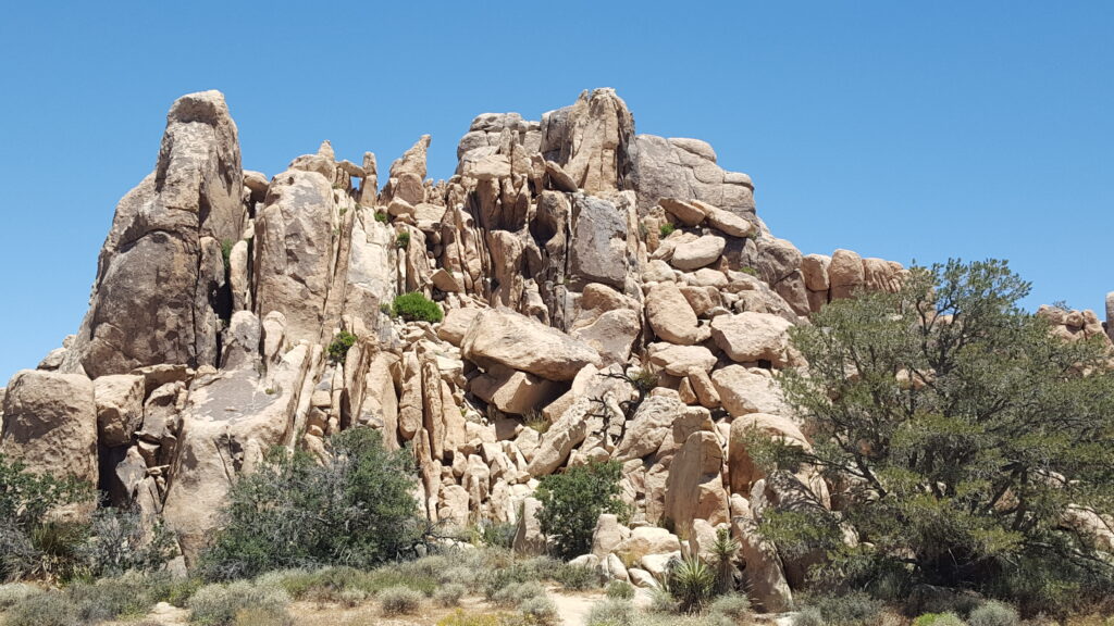
Here begins the scenic Geology Tour Road, which crosses the most fascinating rock formations of Joshua Tree.
Coordinates to enter in the GPS: 33.927151, -116.187438 (33° 55′ 37.74″N 116° 11′ 14.77″W).
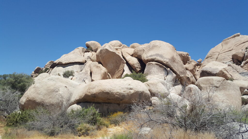
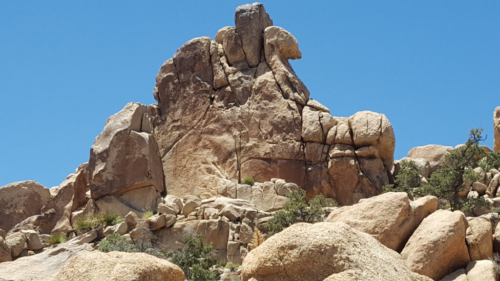
Skull Rock
An intriguing skull-shaped rock to which every good tourist comes to pay homage. It is very easy to spot, since it is right next to the road. To get there, you walk down, walk a little further to see it up close and, if you feel like taking a short walk, you can do the Skull Rock Nature Trail, a 1.7-mile loop that is easy for anyone and is open from October to April. On the same side of the road, a short distance away, you’ll find the Jumbo Rocks Campground.
Coordinates to enter in the GPS: 33.997922,-116.059891.
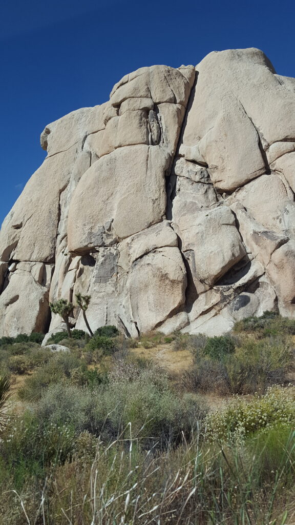
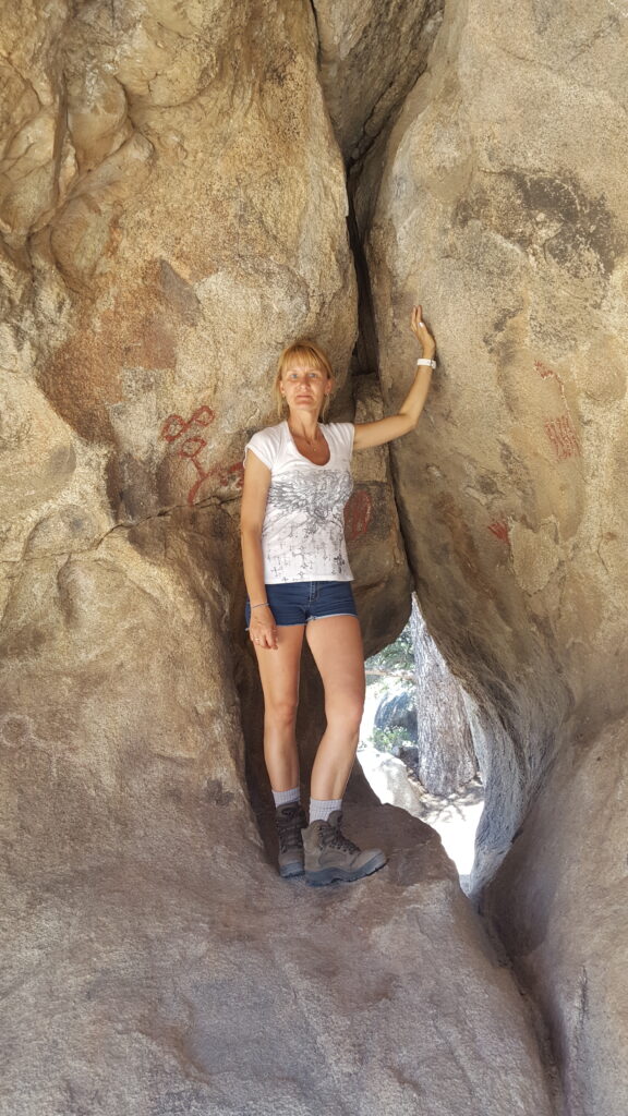
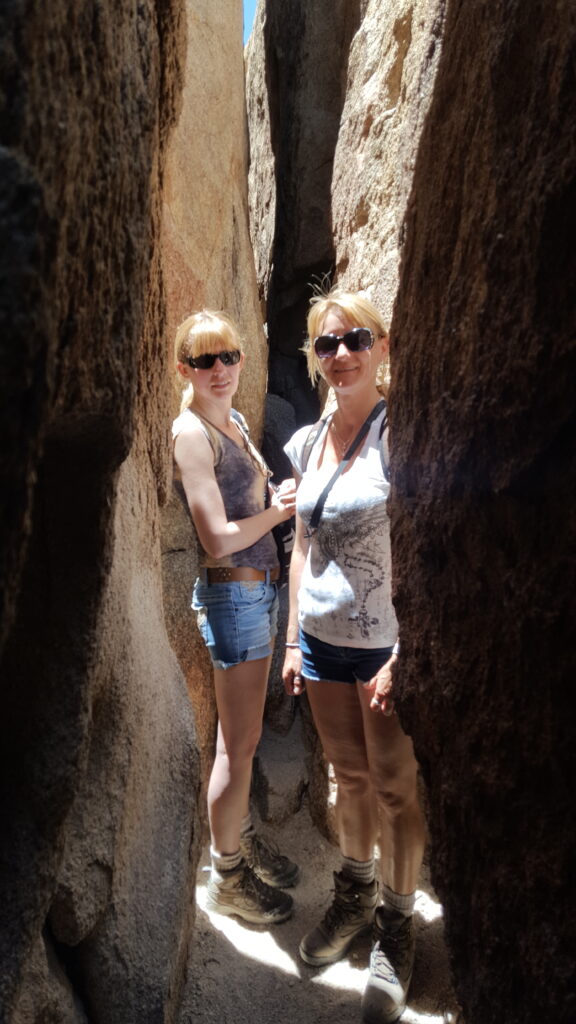
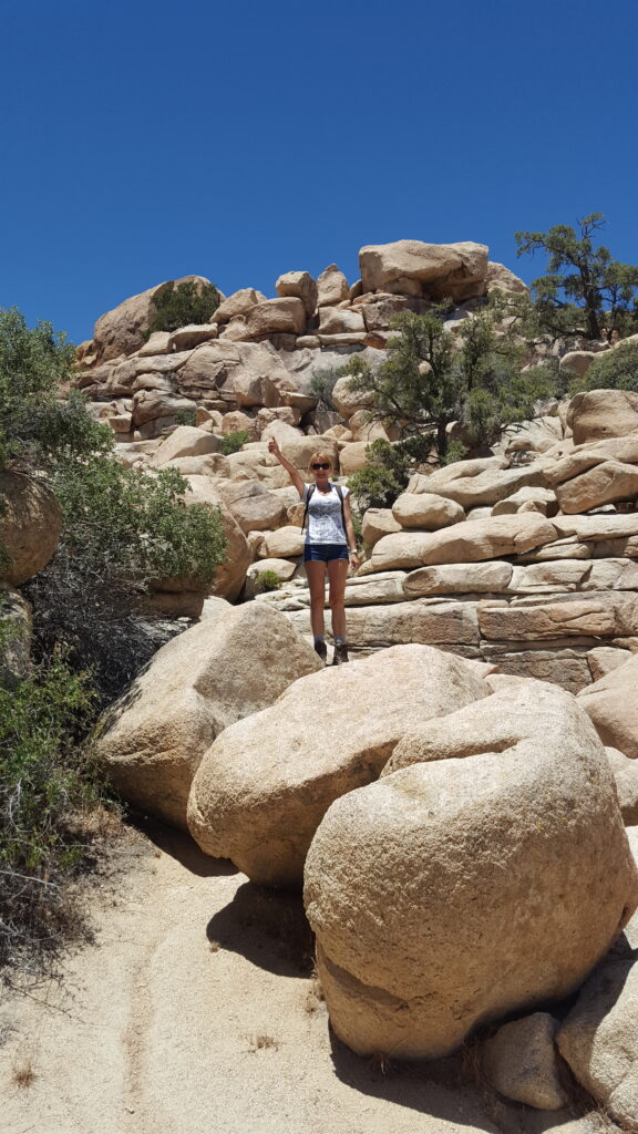
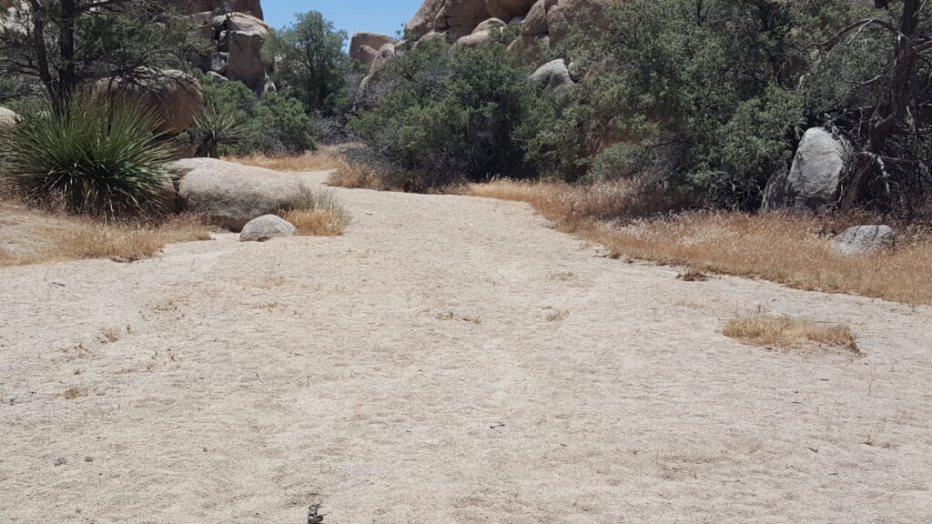
Hidden Valley
Naturalist Peggy Larson called this place the Mosaic of Miniature Worlds, an expression you’ll find also mentioned at the beginning of the short trail. To understand what Mrs. Larson meant, you have to walk the whole hike (less than 2 miles long).
The trail will lead you along a narrow passage bordered by 2 gigantic rock walls until you reach an open valley surrounded by amazing rock formations. You will feel as if you are in front of a large desert and the surrounding hills will look like big mountains. That this the meaning of the name the mosaic of the miniature worlds of the Hidden Valley.
The trailhead is about a 15-minute drive from the visitor center at the West Entrance. Keep driving on Park Road and then simply enter the large, well-marked parking lot in Hidden Valley, which also serves as a rest stop with various picnic tables. If you miss the sign, don’t worry, the look for the large rock pile called Intersection Rock.
Coordinates to be entered in the GPS: 34.012743, -116.168729.
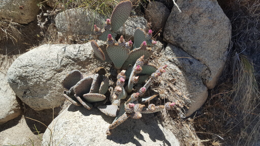
Cholla Cactus Garden
This is the main attraction along Pinto Basin Road heading towards Cottonwood Springs. From Park Boulevard take Pinto Basin Road and drive for about 12 miles. The Cholla Cactus Garden is located on the side of the road. Being careful not to touch the cactus needles (as it was mentioned above), you can walk along the path, which is just over 1300 ft long.
Coordinates to insert in the GPS: 33.925302, -115.928777 (33° 55′ 31.08″N 115° 55′ 43.59″W).
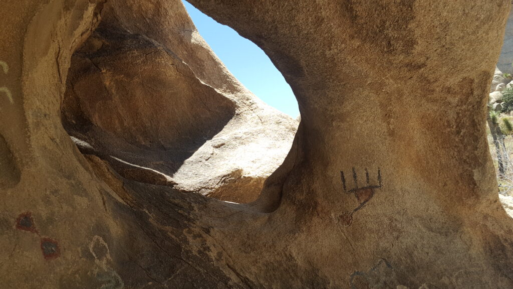
Arch Rock
It may not be as famous as Arches National Park, but Joshua Tree also has its own Arch Rock, a rock formation with very peculiar features on which you must climb to take a picture. To get there, take Pinto Basin Road and park at White Tank Campground (well signposted on the road). From there you just need to walk for a few minutes to get to the strange rock.
Coordinates to be entered in the GPS: 33.985241, -116.016487 (33° 59′ 06.86″N 116° 00′ 59.35″W).
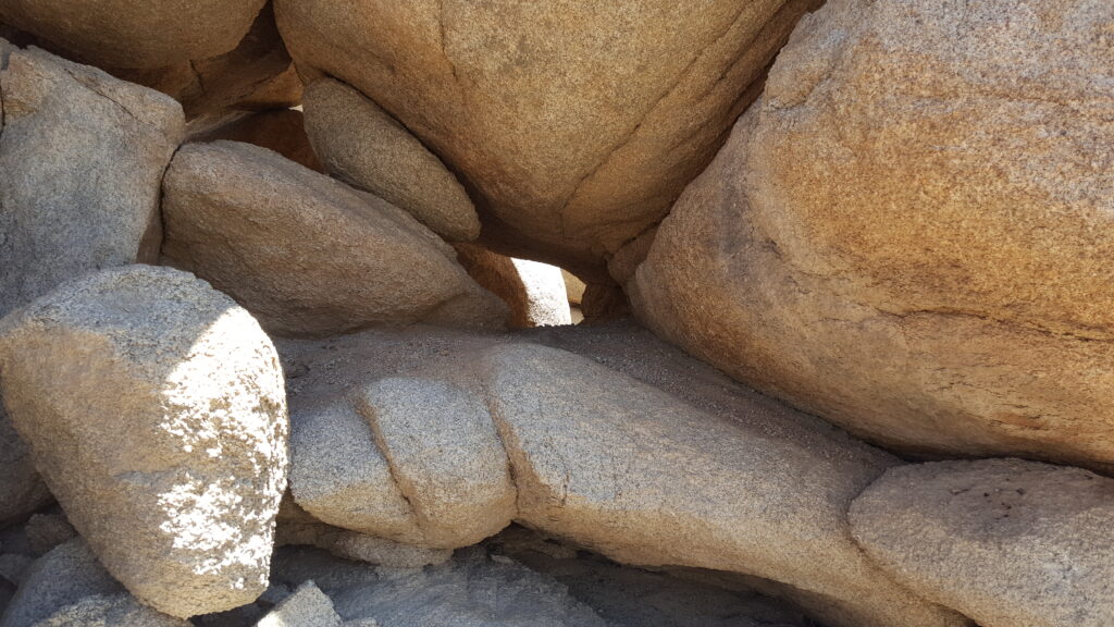
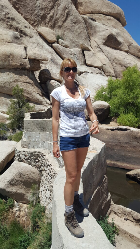
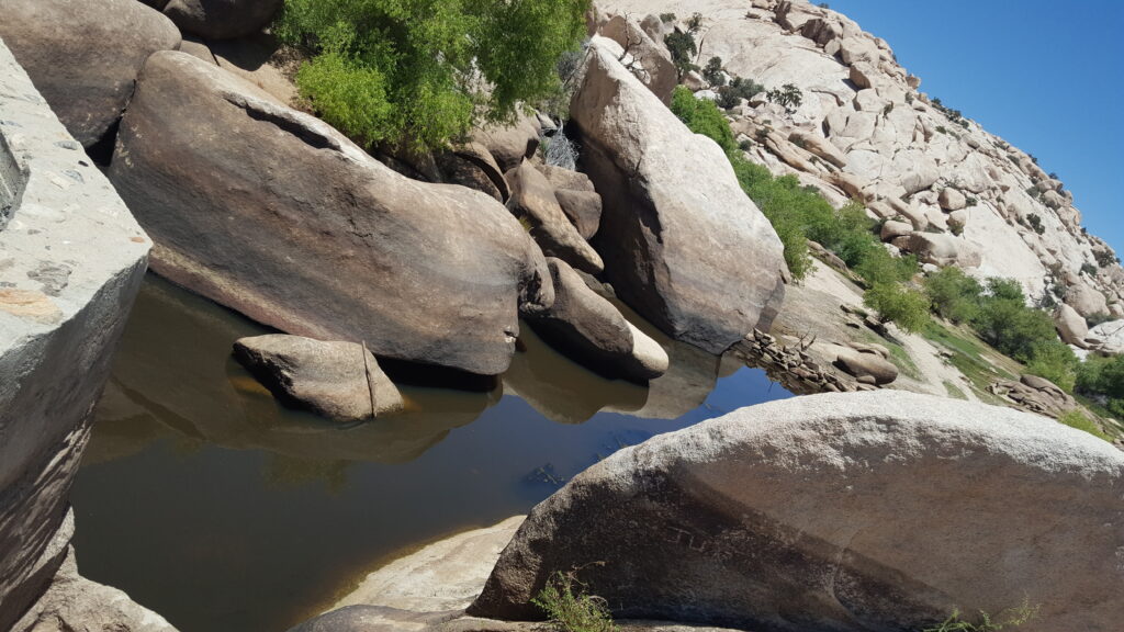
Barker Dam Trail
Drive on Barker Dam Road until you reach the parking lot with the same name. There are two well-marked trails, make sure you take the one towards Barker Dam (northwest), the other will take you to Wall Street Mill, the conservation site of an old abandoned mill (and there’s more to explore, if you have time left, drop in!).
You will walk among tall mounds of boulders and then unexpectedly arrive at a small blue lake. The contrast with the surrounding landscape is certainly striking, but during the dry season, you may find the lake drained.
Coordinates to be entered in GPS: 34.024896, -116.142061 (34° 01′ 51.09″N 116° 08′ 47.02″W).
Joshua Tree National Park Oases
Joshua Tree can boast its own oases. We mention two of them here:
- Fortynine Palms Oasis: An oasis accessible by a 3-mile trail on the north side of the park.
- Lost Palms Oasis: An oasis nestled in the mountains in the southeast section of the park that can be reached by going on a hike that is over 7 miles long.
Where to stay in Joshua Tree
Inside Joshua Tree there are no hotels and the only option is to camp, but you must read carefully the restrictions of the park about it.