February 4, 2023
California small towns – Malibu: part 1 – history and facts
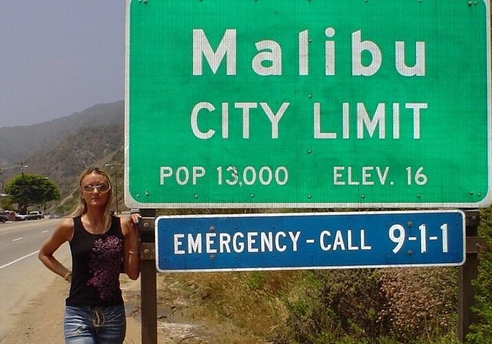
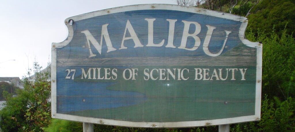
“27 miles of scenic beauty” – these words on a wooden sign greet visitors to Malibu, nicknamed “The Bu” by the locals. This greeting is in keeping with the reputation of this city located along the Pacific Coast Highway northwest of Santa Monica, Los Angeles County. Welcome to another “best place” on the west coast of California.
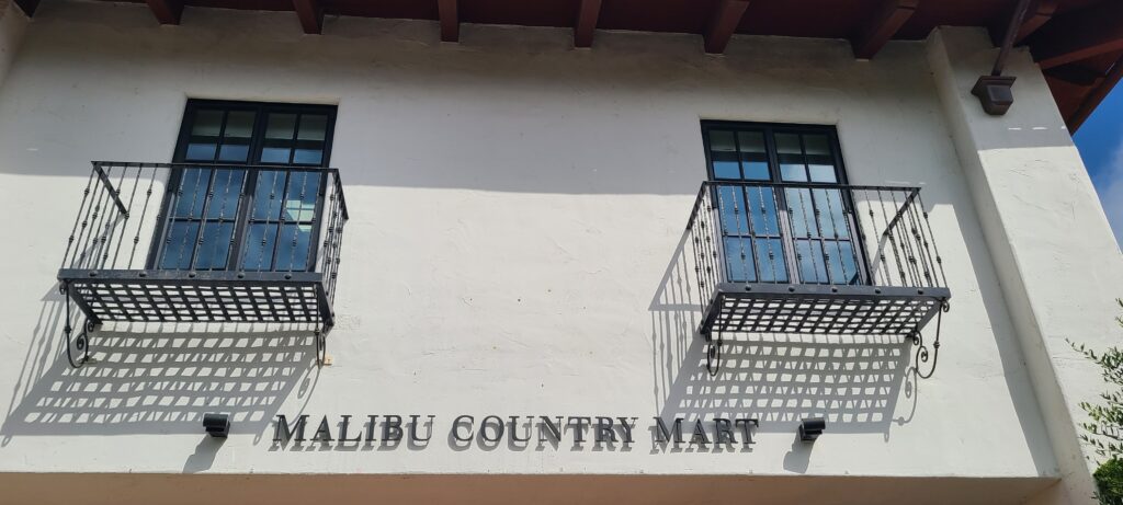
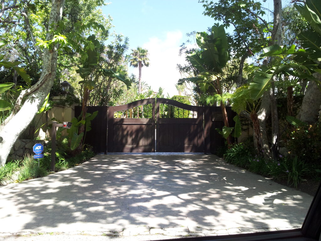
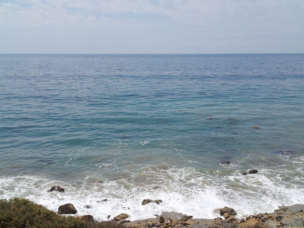
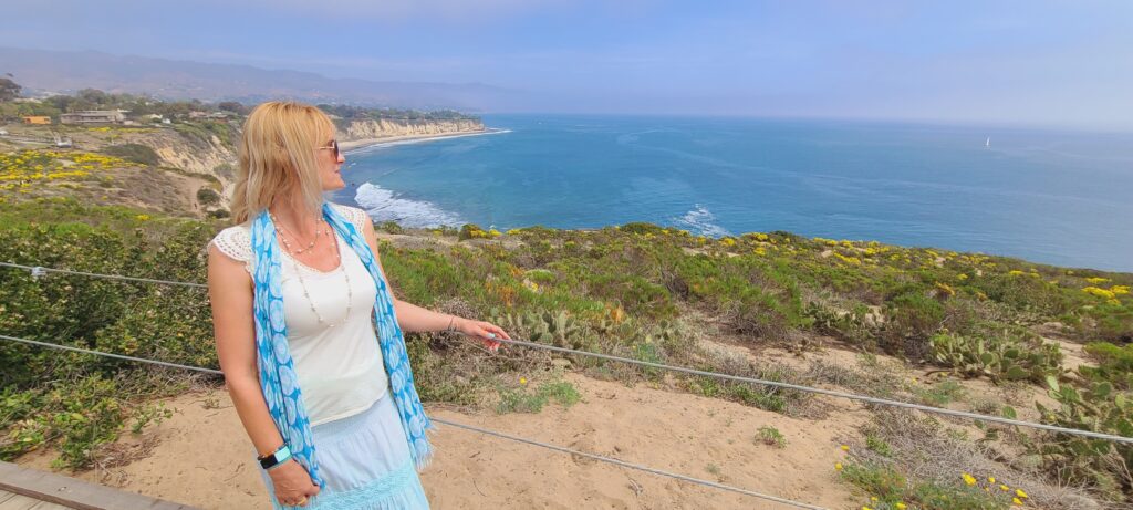
Malibu, the pearl of the Pacific Ocean, is home to many stars from the worlds of cinema, entertainment, sports and music. The mansions arouse considerable curiosity, but that is not the only reason to visit Malibu, as there is much more to discover in this coastal city of approximately 13,000 inhabitants. With the beaches and trails in the Santa Monica Mountains, it’s easy to forget how close Malibu is to Los Angeles. When you’re in Malibu, it feels like you’re in another world, another dimension where nature is the main character.
Location
Malibu is located in Los Angeles County, north of Santa Monica, on the Pacific Coast Highway / CA1. You’ll probably encounter traffic jams, but the sun, palm trees, and ocean views make the drive so much more enjoyable.
History
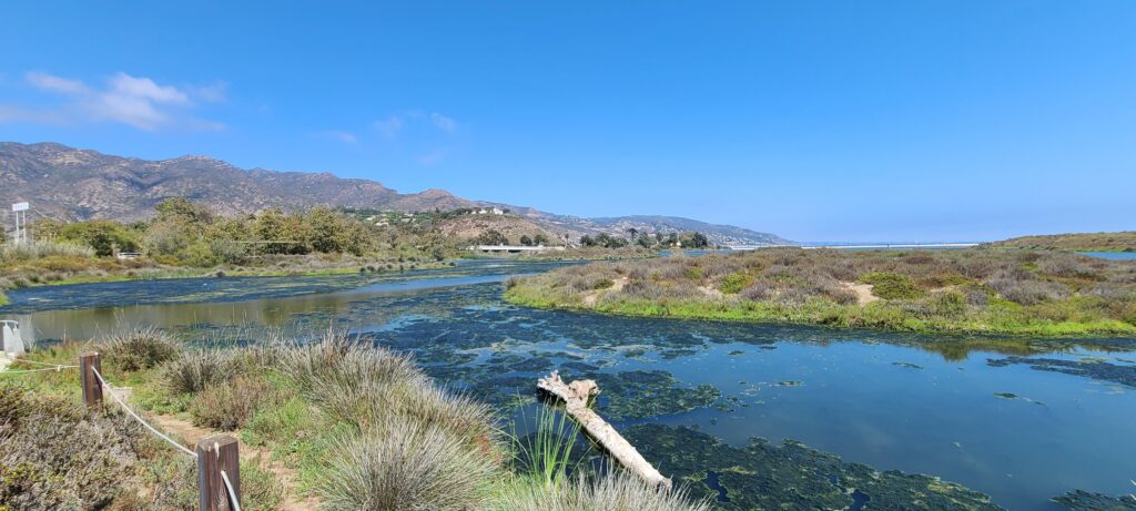
The area of present-day Malibu was originally settled by the Chumash Native Americans, whose territory stretched from the San Joaquin Valley to San Luis Obispo to Malibu, and also included several islands off the southern coast of California. They named it Humaliwo which means “the surf sounds loudly”. The name Malibu comes from the fact that the first syllable “Hu” was not pronounced. The village of Humaliwo was located next to what is now Malibu Lagoon and was an important regional center in prehistoric times. The village was inhabited from around 2500 BC. and was the second largest coastal Chumash settlement in the Santa Monica Mountains. Only Muwu (now Point Mugu) was more populous. Humaliwo was considered an important political center. Slowly, additional settlements began to appear in what is now Malibu. Research has shown that Humaliwo had ties to other villages in pre-colonial times, including Hipuk (in Westlake Village), Lalimanux (in Conejo Grade), and Huwam (in Bell Canyon).
In 1542, explorer Juan Rodríguez Cabrillo moored at Malibu Lagoon, at the mouth of Malibu Creek, in search of freshwater. The Spanish presence returned with the California mission system, and the area was part of Rancho Topanga Malibu Sequit. The ranch passed intact to Frederick Hastings Rindge in 1891. Rindge’s home, called the Adamson House, is now part of Malibu Creek State Park and is located between Malibu Lagoon State Beach and Surfrider Beach.
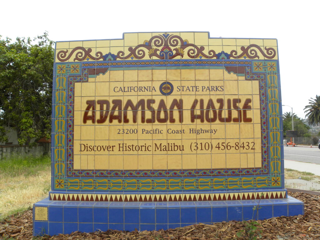
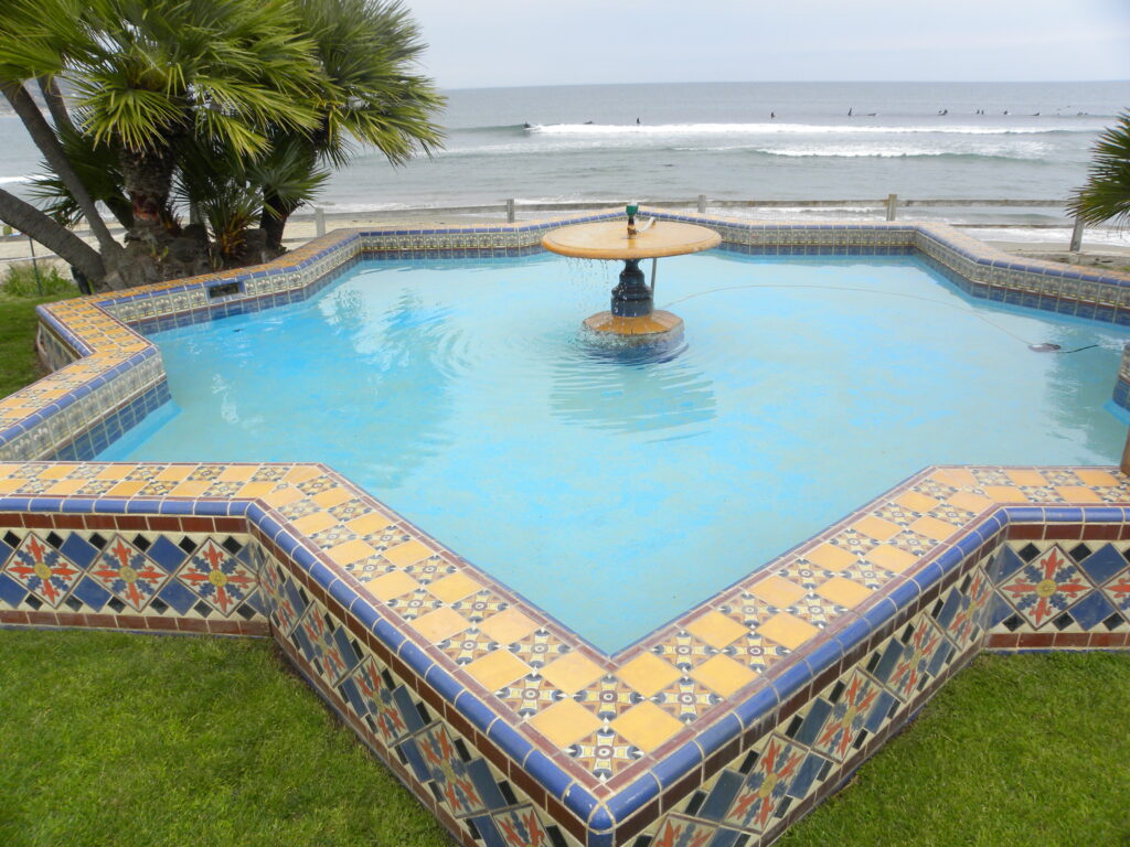
In 1926, wanting to avoid selling the land, May K. Rindge created a small ceramic tile factory. At its peak, Malibu Potteries had over 100 employees and produced decorative tiles with a distinct Moorish influence. They now adorn many public buildings in Los Angeles and Beverly Hills mansions. The factory, 800 meters east of the pier, was ravaged by fire in 1931, and although it reopened in 1932, it never recovered from the effects of the Great Depression and a sharp decline in construction projects in Southern California. Fine examples of the tile can be seen at the Adamson House and Sierra Retreat, a fifty-room mansion that was built in the 1920s as the main home of the Rindge family on a hill overlooking the lagoon. The unfinished building was sold to the Franciscan Order in 1942 and now functions as the Sierra Retreat. The house burned down in 1970 and was rebuilt using many of the original tiles.
Most of the Big Rock Drive area was purchased in 1936 by William Randolph Hearst, who considered building an estate on the site. In 1944, he sold half of his properties to Jones. Jones was one of the realtors in Malibu and also co-owned the Malibu Inn, the Malibu Trading Post, and the Big Rock Beach Cafe (which is now the Moonshadows Restaurant).
Malibu Colony
Located south of Malibu Road and Pacific Coast Highway, west of Malibu Lagoon State Beach, and east of Malibu Bluffs Park (formerly a state park), Malibu Colony is one of Malibu’s most famous neighborhoods, where private homes were first built after when Malibu was officially incorporated as a town in 1926. Long known as a popular private enclave for wealthy celebrities, Malibu Colony is today a gated community with multi-million dollar homes, stunning Pacific Ocean views, coastal views stretching from Santa Monica to Rancho Palos Verdes in the south (known locally as the Queen’s Necklace) and the Point Dume escarpments and bluffs to the north.
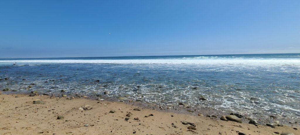
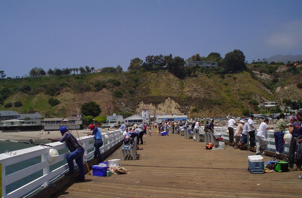
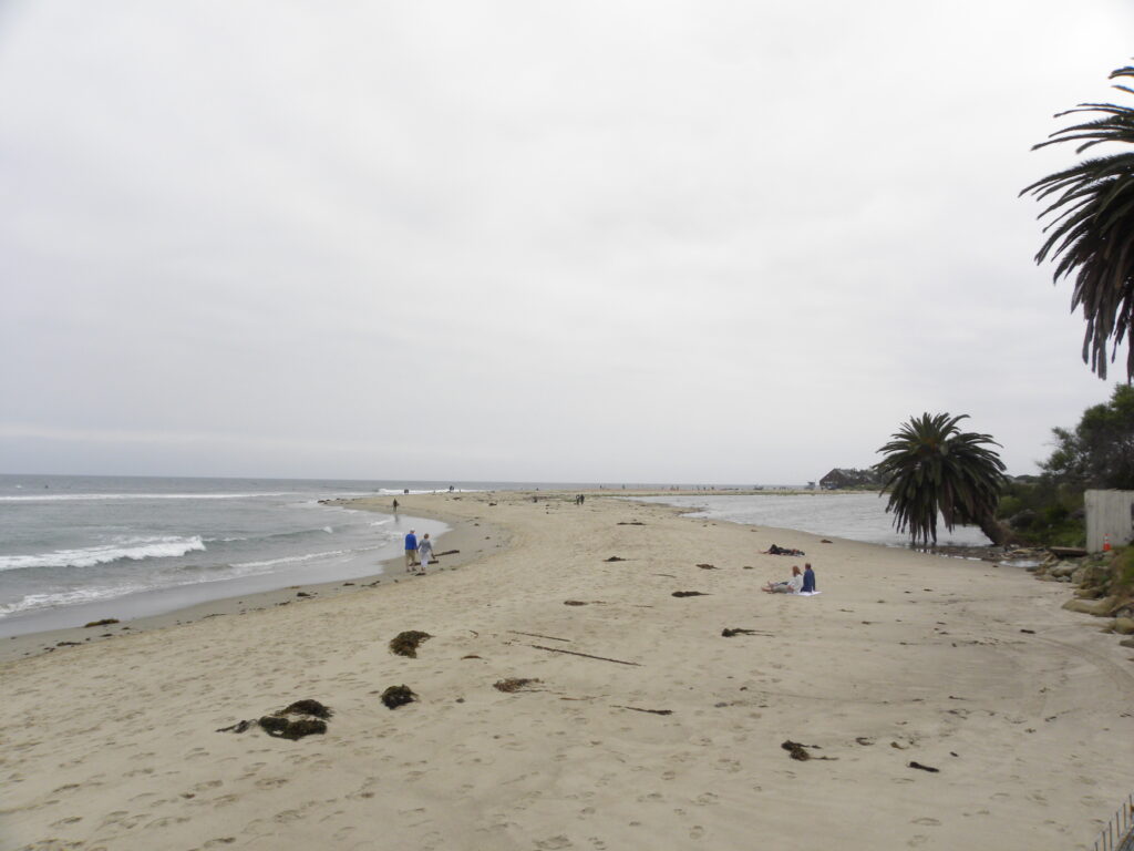
Beaches
In one of the next posts we will describe in more detail the most important beaches in Malibu. Now we will only mention those that are definitely worth visiting:
- Carbon Beach
- Surfer Beach
- Westward Beach
- Escondido Beach
- Paradise Cove
- Zuma Beach
- Trances
- Encinal Bluffs
- Point Dume – forms the northern end of Santa Monica Bay, and Point Dume Headlands Park provides a view that extends to the Palos Verdes Peninsula and Santa Catalina Island. Directly next to the park, on its western side, there is Pirates Cove.
Like all California beaches, almost all Malibu beaches are public beaches. Many large public beaches (Zuma Beach, Surfrider Beach) are easily accessible, but such access is sometimes limited on some smaller and more remote beaches. Some beaches, such as Paradise Cove, charge an entrance fee to avoid crowds of tourists and visitors.
Climate
The region where Malibu is located experiences warm and dry summers, with an average monthly temperature not exceeding 71.6°F (22°C). Malibu has a Mediterranean climate influenced by the Pacific Ocean, resulting in much more moderate temperatures than other regions of Southern California. Snow is extremely rare in Malibu, but there is occasional light rainfall in January in the higher parts of the surrounding mountains.
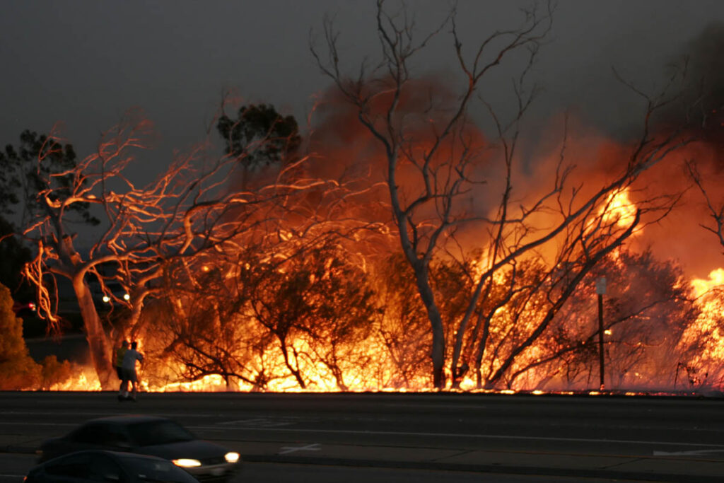
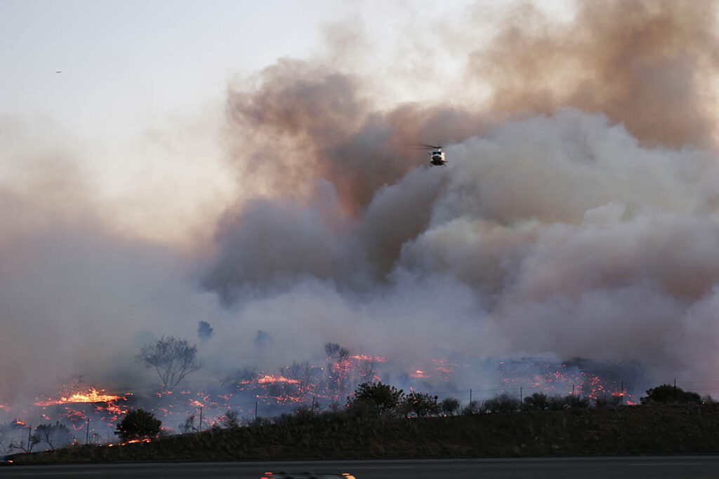
Natural disasters
Dry canyons and steep clay slopes make the area prone to fires, flooding and mudslides. The Malibu coast lies on the edge of a vast expanse of bushland and wooded areas within the Santa Monica Mountains National Recreation Center. Various environmental elements such as mountainous and geologically unstable terrain, seasonal storms that cause dense growth of vegetation that later dries out due to lack of moisture to form dry, combustible scrub, Santa Ana’s seasonal dry winds, and naturally arid topography and climate, all combine to create a natural disaster risk .
Mudslides
One of the most problematic side effects of the fires that periodically hit Malibu is the destruction of vegetation, which usually provides some degree of topographical stability to loosely packed shale and sandstone shales during periods of heavy rainfall. Thunderstorms following large fires can cause a phenomenon called mudslides, where water-soaked earth and rock move rapidly up mountainsides, and whole chunks of the slope break off violently and fall downward.
After wildfires in 1993 destroyed vegetation on the slopes, heavy rains in early 1994 caused a massive mudslide near Las Flores Canyon that blocked the main coastal transportation artery, the Pacific Coast Highway, for months. Thousands of tons of mud, rock and water flowed down the Pacific Coast acting as a sluice. The damage to property and infrastructure was multiplied by the narrow narrowing of the road at this point, with coastal homes adjacent to the highway with little or no front ground to act as a buffer for the mudslide. Another large mudslide occurred on Malibu Canyon Road, between the Pepperdine University campus and HRL Laboratories LLC, closing Malibu Canyon for two months. Another giant avalanche hit another main road in the canyon, Kanan-Dume Road, about one mile (1.6 km) up the canyon from the Pacific Coast Highway. The last road closure lasted for months, and Kanan-Dume Road was finally repaired by the California Department of Transportation (Cal-Trans) over a year after the road was vandalized.
Avalanche deposits can and do occur at any time in Malibu, whether there has been a recent fire or a downpour. Pacific Coast Highway, Kanan-Dume Road, and Malibu Canyon Road (as well as many other local roads) are threatened by many subsequent mud-related closures. During prolonged or heavy rain, Caltrans plows will patrol most of the canyon roads in the area, removing mud, stones and other fallen debris from the roadway. Such measures keep most roads passable, but it is typical that often one or more of the main roads into and out of Malibu are temporarily closed during the rainy season.
Storms
Malibu experiences periodic intense coastal storms. Sometimes these storms unearth the remains of the Rindge Railway, which was built in Malibu in the early 20th century.
On Friday, January 25, 2008, during a thunderstorm, a tornado hit the Naval Base’s hangar, ripping off the roof. It was the first recorded tornado to hit the Malibu shoreline.
Earthquakes
Malibu is 50 miles (80 km) from the San Andreas Fault, a fault over 800 miles (1,300 km) long that can produce an earthquake of magnitude greater than 8. There are many faults in the region, making the area prone to earthquakes. Major quakes in the area include the 1971 Sylmar earthquake and the 1994 Northridge earthquake (Mag. 6.6 and 6.7). Smaller earthquakes happen more often.